
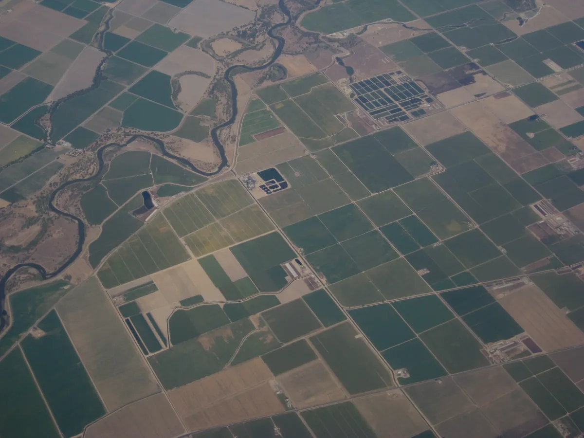
California's Office of Environmental Health Hazard Assessment (OEHHA) released CalEnviroScreen 5.0 in early July 2026, the latest version of the state's tool for identifying which neighborhoods carry the heaviest combined burden of pollution exposure and health vulnerability. The update matters well beyond its role as a research tool: CalEnviroScreen scores feed directly into the state's Disadvantaged Communities designation, released alongside it for public comment.
What's New in Version 5.0
The updated tool adds two entirely new indicators: a Small Sites Emitting Toxic Substances into the Air indicator, which accounts for oil and gas wells and other sites such as gas stations that report toxic air emissions, and a Diabetes Prevalence indicator, meant to capture how pollution exposure can worsen health outcomes for people who already have the disease. The update also expands the buffer zones used to measure proximity to hazardous waste facilities and, notably for communities relying on groundwater, adds data for six PFAS chemicals in drinking water alongside water-quality data for additional tribal lands and children's blood lead level data.
Alongside the tool itself, CalEPA opened public comment on the state's 2026 Preliminary Disadvantaged Communities Designation, built using the updated CalEnviroScreen 5.0 data. CalEPA is inviting input through two virtual public workshops and one tribal workshop, as well as written comment, before it finalizes the list. DFP was unable to independently confirm the specific scoring thresholds CalEPA is using to determine which tracts qualify; readers who want that level of detail should consult CalEPA's own designation materials directly.
How To Weigh In
CalEPA is accepting written public comment on the preliminary 2026 Disadvantaged Communities Designation through 5 p.m. on July 31, 2026. Comments can be submitted to DACinquiries@calepa.ca.gov.
What Reporting Has Found About the Stakes
The scale of what rides on these designations is substantial. CalMatters reported in February 2026 that disadvantaged communities have received at least $5.8 billion in cap-and-invest funds since 2015 — money that flows disproportionately to census tracts that carry the CalEnviroScreen disadvantaged-community label. That same reporting found that roughly 80 percent of communities designated as disadvantaged remained unchanged in the ranking under the draft update, and that Laura August, the agency's environmental program manager, said the Bay Area and Central Valley regions decreased slightly in the statewide ranking under the new version.
CalMatters' reporting, based on the draft version of the update circulated for public workshops earlier this year, also documented concerns raised by environmental justice advocates and outside researchers. Johns Hopkins University researchers found in 2024 that the prior version of the tool, CalEnviroScreen 4.0, was subjective enough that certain communities could be losing out on billions of dollars. Some critics called for additional indicators, such as wildfire smoke data. Rebecca Overmyer-Velazquez, a coordinator for the Clean Air Coalition of North Whittier and Avocado Heights, said the tool still leaves out on-the-ground data — stressors such as heat islands, lack of tree cover, and water stress that only neighborhood-level surveying can capture. And Bradley Angel, director of the environmental group Greenaction for Health and Environmental Justice, faulted the state for not using the tool to deny waste permits to polluters.
Why This Matters for DFP's Coverage Area
Neither the coverage of CalEnviroScreen 5.0's release reviewed for this story nor the CalMatters reporting on the earlier draft update specified how individual San Joaquin County or Contra Costa County census tracts scored under the new version, or whether their Disadvantaged Communities status changed. DFP will follow up with tract-level reporting for the 209 and 925 as that data is reviewed.